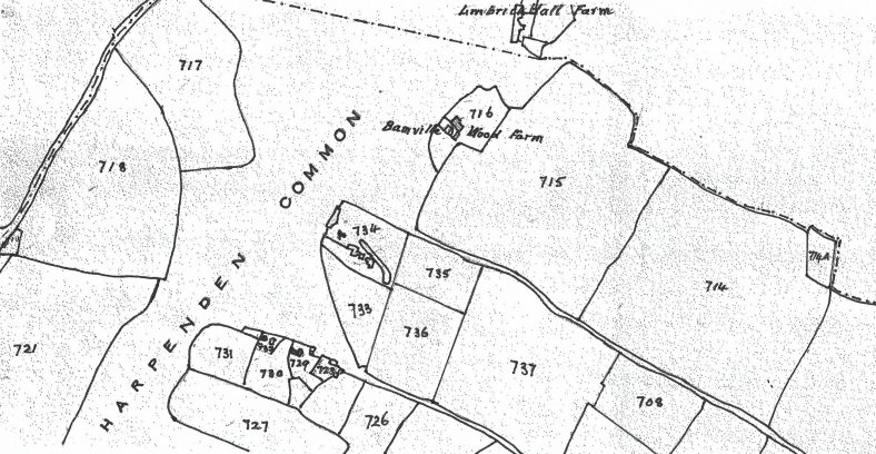
1843 tithe map showing Cross Lane
Cross Lane is on the 1843 tithe map running from the Common to the lower right of the map. The associated part of East Common (marked D on the street map) was built on Greencroft Field (no 715) which was always part of a property known originally as Wystock, then Bamville Wood Farm and lastly (from about 1700) Limbrick Hall Farm some maps show it as being partly a brickfield.
Mud Lane runs parallel with Cross Lane – below Cross Lane on the map
The maps below are from 1805-34,1898,2017 and a modern street map and all show Cross and Mud Lanes. The tithe map is not orientated N-S so these have all been realigned for comparison. Cross Lane runs southwest to northeast.
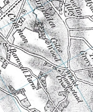
OS 1805-34 map

OS map 1898
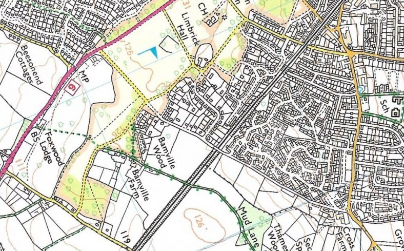
2017 OS map Cross Lane
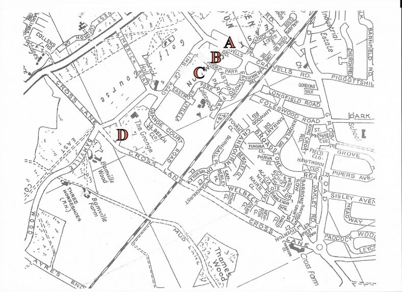
Street make marked to indicate four parts of East Common
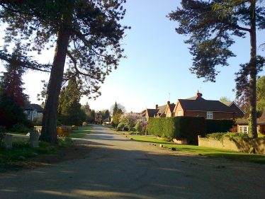
The houses on Cross lane are all between the Common and the railway bridge with East Common and Grange Court Road both branching from it.
The lane was closed off as a road at the railway bridge in 1978 when the bridge had to be rebuilt (raised) because the line was electrified. Beyond that down to Grove Road the lane had been closed earlier, in 1975, to allow Cross Farm Estate houses to be built and they back onto the lane. There is no vehicular access for them from the lane. However there is pedestrian access and some gardens also have gates onto the lane. On the opposite side there are allotments and fields.
The associated East Common houses run from Cross Lane to Bamville Wood (road) – see section D on the street map above.
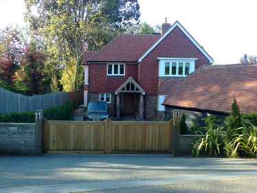
Because of the rapidly changing street scene of Harpenden we have taken photographs of the houses in this area* as a record of them as they are in 2020. This is for our archives and for future reference.
*see also Station Road
Historical information contained in deeds such as architects, builders, dates of sales and dates of extensions, rebuilds, in-building and such like would also be interesting to future historians and it would be appreciated if owners were willing to share such details with us.
Add a comment to this page or contact us
Cross Lane houses, odd numbered side
No 1 Falcons

Falcons, house name
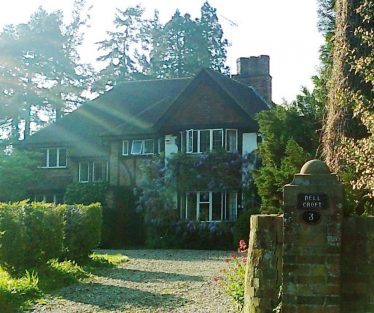
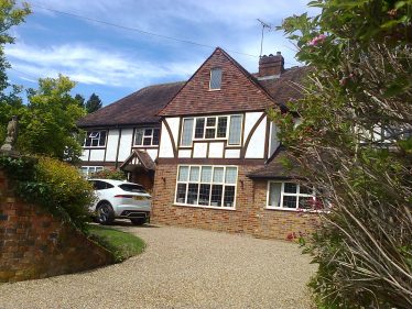
No 3 Dell Croft
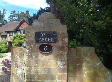
No 3 Dell Croft house name

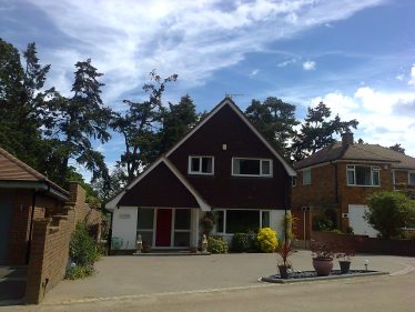
No 5 Tall Trees
No 7

No 9
Grange Court Road from Cross Lane
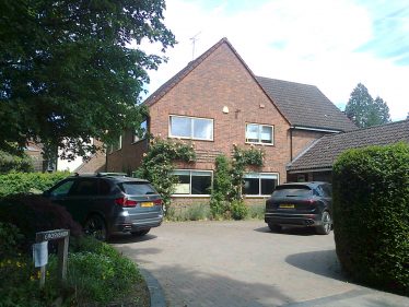
No 11 the last house before the bridge
Cross Lane houses, even numbered side

Notice at Bamville Copse entrance
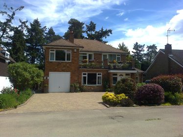
No 2 Hopefield
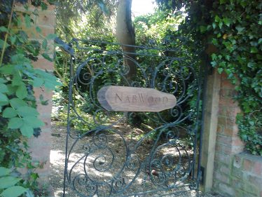
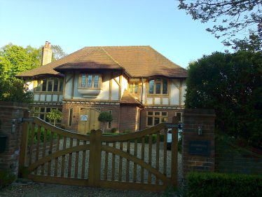
Nab Wood house name
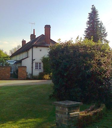
Nab Wood
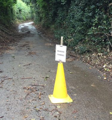
Barriers to stop vehicular traffic using Cross Lane
At the bridge At Cross Lane Farm

Cross Lane – gate at the bridge
Notice by Cross Lane Farm
Moveable to allow access to fields and allotments
East Common houses
Section D on the street map above
From Cross Lane
Hamilton House

Bracken Edge
Robin Cottage
Ivy Cottage
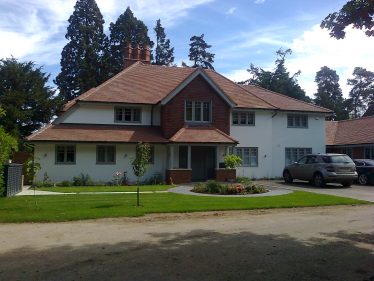
Eastmoor Lodge
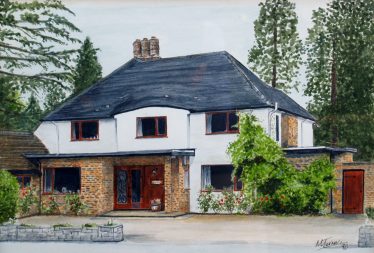
The previous Eastmoor Lodge, 1990 painting
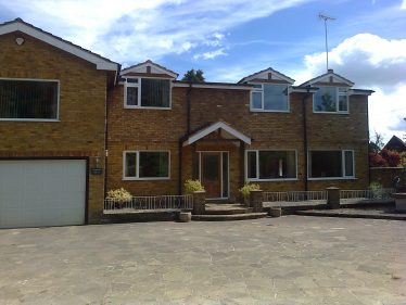
Grosvenor

last house from Cross Lane (no name visible))
Comments about this page
I can confirm the reference to a “brickfield” in the area. My father Stan Clark who was a local builder was contracted to build a house in Cross Lane between Grange Court Road and the common. I am not sure which one it is. However, as a young boy I was helping to dig the footings when we came across lots of beautiful soft red bricks. Maps found at Wheathampstead showed the brickfield. As a result the house had to be built further back from the road and the bricks were covered and left.
Add a comment about this page